Oct, 25, 2026, Sunday, Zhejiang
Hotline:0577-6217-8888
Oct, 25, 2026, Sunday, Zhejiang
Location boundary
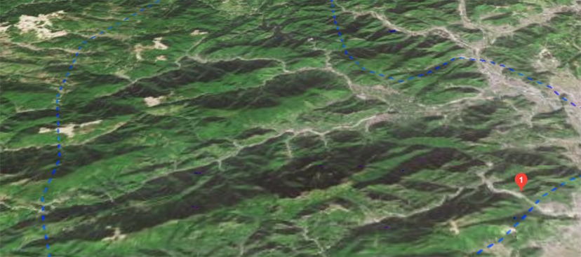
Yandangshan is located in Yueqing City, Wenzhou, Zhejiang Province, at 27°50′–28°30′ north latitude and 120°27′–120°41′ east longitude, with a total area of 450 square kilometers. Yandangshan (Longxi Township) is only 80 kilometers south of Yongqiang Airport in Longwan District, Wenzhou (via a Class I highway, less than a 2-hour drive), and only 60 kilometers north of Huangyan Airport in Luqiao District, Taizhou (via the expressway), less than a 1-hour drive.
Landform Characteristics
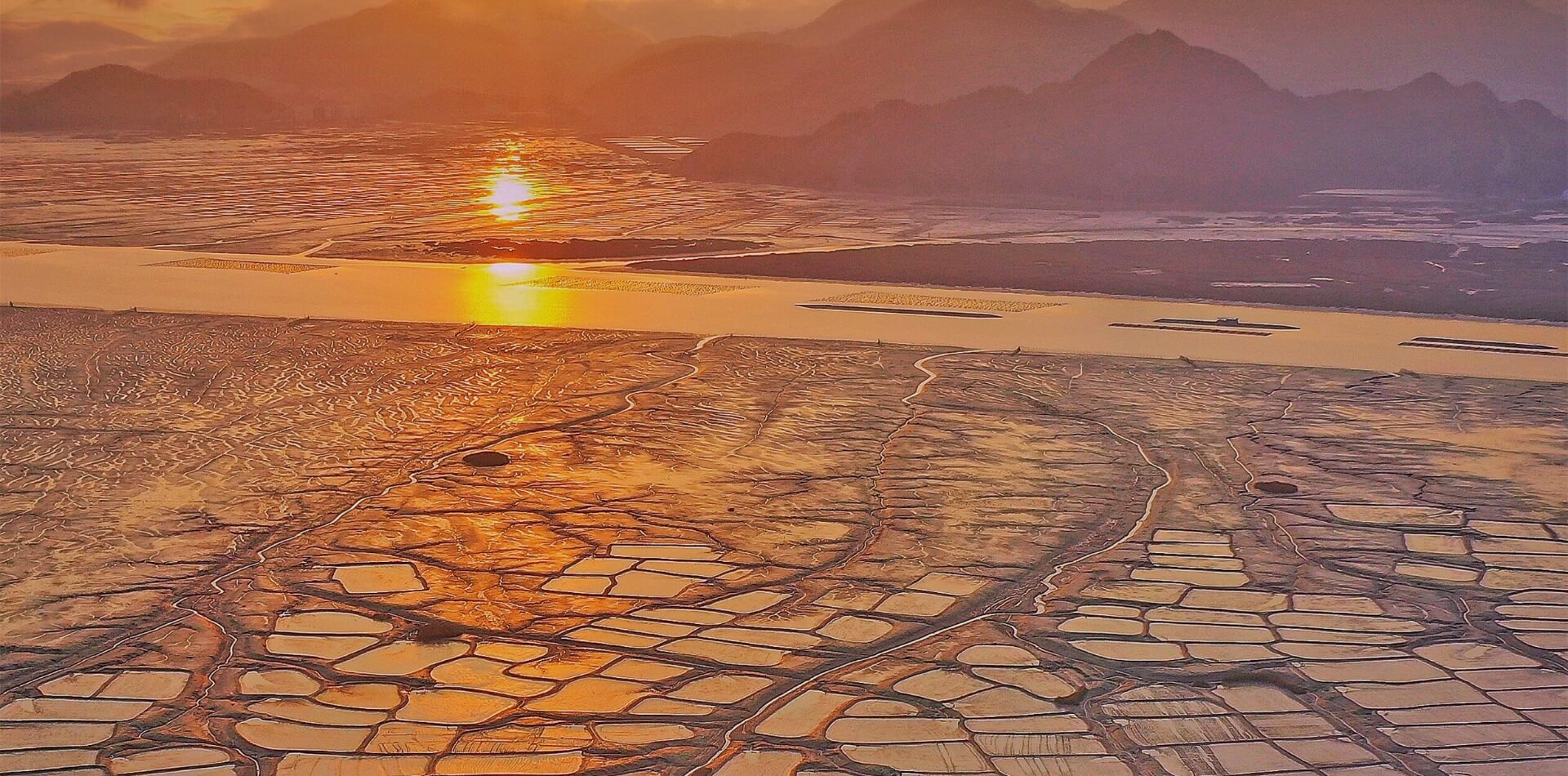
Yandangshan is located in the low-to-medium mountain and hilly region of southeastern Zhejiang. The terrain slopes from west to east; the western part consists of low mountains and hills, while the eastern part borders Yueqing Bay and comprises a marine plain. The mountain ranges generally run in a northeast-southwest direction, with elevations typically ranging from 500 to 600 meters; the highest peak, Baigangjian, rises to 1,056.5 meters.
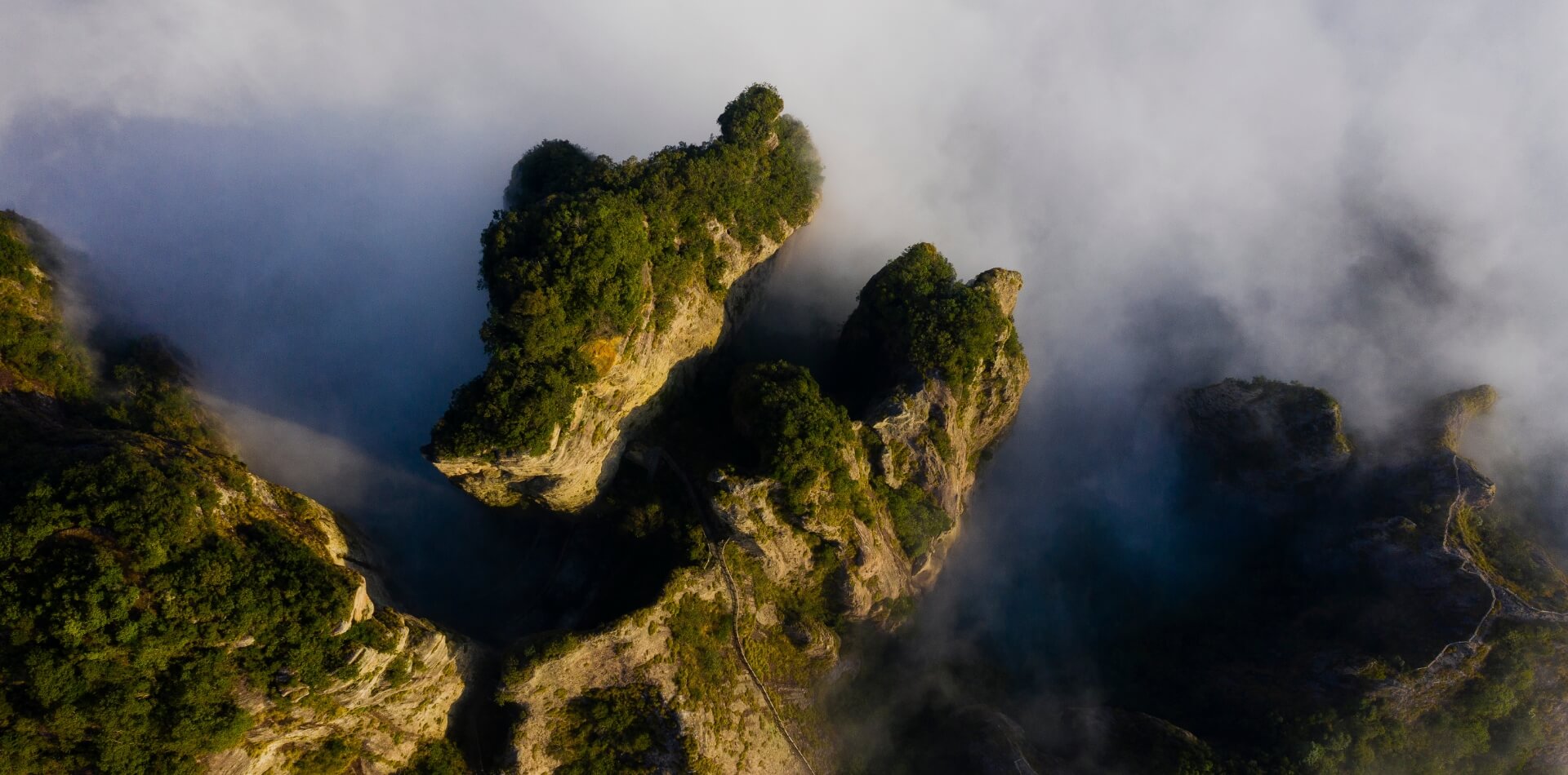
Yandangshan
The landforms are divided into three categories
Yandangshan is a typical example of Cretaceous volcanism within the giant volcanic belt along the edge of the Asian continent, and it is also a large caldera formed by rhyolitic magma eruptions.
At an elevation of over 800 meters, this area is primarily located in the central part of the geopark, stretching from Yanhu in the west to Baigangjian and Wuyanjian in the east, forming a watershed. The rock type consists of a central intrusive body of a volcanic origin—quartz syenite.
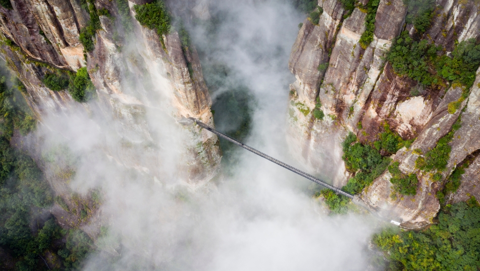
There are three types based on rock composition. The first type consists of tuff and welded tuff formed during the third and fourth phases of the Yandang Mountain volcanic eruptions. Due to the action of NEE-trending faults or cleavages, these formations often take the form of sharp peaks, figurative mountains (or rocks), or columnar jointed mountains and V-shaped gorges. Elevations range from 600 to 800 meters. The second type consists of rhyolite from the second phase of the Yandang Mountain volcanic eruptions. These massive, thick rhyolite layers, formed by the superposition of 3 to 5 lava flow units, constitute the main body of the Yandang Mountain landscape. Key features include the Stacked Cockroaches, Square Rock, Stone Gate, Pillar Peaks, caves, natural bridges, and Cockroach Valley. Elevations are below 600 meters. The third type consists of andesitic (low-silica) welded tuff. The mountain slopes formed by this rock are relatively gentle, lacking steep cliffs, and feature V-shaped valleys and streams, with localized formations of rock figures. Located on the outer rim of the geological park, this area is distributed in a semi-circular pattern.
Alluvial plains, found along riverbanks; fluvial plains, found in small intermontane basins; and marine plains, found in coastal areas, often forming tidal flats and wetlands.




Hydrological Characteristics
Yandangshan consist primarily of exposed, dense volcanic rock; the soil layer is very thin, with limited areas prone to waterlogging, and there are virtually no aquifers, so most precipitation runs off as surface water.
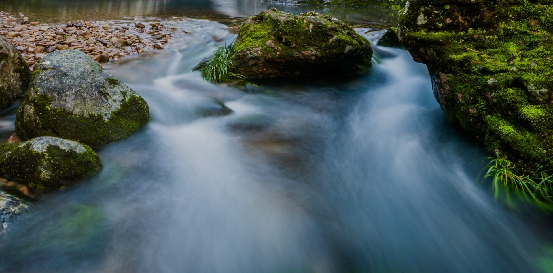
Yandangshan are primarily composed of exposed, dense volcanic rock. The soil layer is very thin, the area with standing water is small, and there is virtually no aquifer, so most precipitation runs off as surface water. The water supply for Dalongqu comes from Longqubei, whose upstream watershed covers only 0.98 square kilometers. When there is no rain, Dalongqu relies solely on groundwater from an area of less than 1 square kilometer for replenishment. If rainfall is scarce and there is no groundwater replenishment, the streams will dry up and the waterfalls will diminish in size.
At an elevation of 900 meters in the Yandangshan, there is a thick layer of loose rock and soil formed by weathering, known in geology as a weathering crust. This thick weathering crust is found in the headwaters of the Dalongqu Stream and beneath Yanhu Lake. The weathering crust acts like a sponge, serving to store water. Yandangshan watershed generally extends in a radial or dendritic pattern, flowing from west to east into Yueqing Bay. Major tributaries include the Dajing Stream and the Qingjiang River.